Minnesota DNR releases updated map of state's rivers, lakes and streams

(Minnesota DNR)
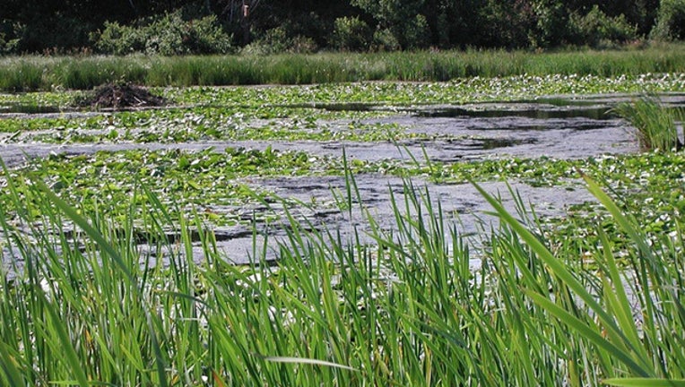
ST. PAUL, Minn. (FOX 9) - The Minnesota DNR has updated a detailed map of all of the state’s wetlands, lakes, rivers and streams.
The update to the “Wetland Finder” is the first since the project first launched.
Now, people across the state have access to more accurate maps of the state’s bodies of water.
In a post, the DNR said the tool is especially helpful for landowners and resource managers who use the website routinely.
The Wetland Finder can be found on the DNR website.

