Minnesota weather: Rain, severe thunderstorms possible

MN weather: Severe storms possible Saturday
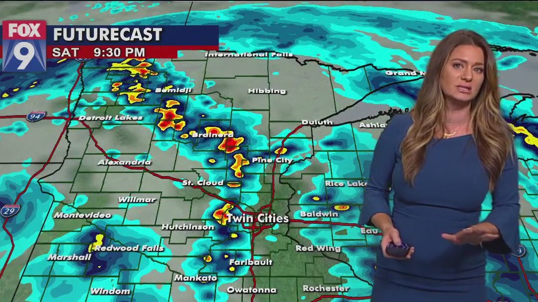
The Twin Cities metro area could see isolated pockets of showers and storms including hail, strong winds and heavy rains. Stay sky aware for severe weather as tornado warnings were issued for parts of Polk and Waseca Counties on Saturday.
MINNEAPOLIS (FOX 9) - While the weekend marks an end to our stretch in the 90s, it comes with widespread showers and thunderstorms for Saturday, which will linger into Sunday.
A line of storms raced into southwestern Minnesota early Saturday morning. That line will continue to weaken throughout the morning, and with that, the stage will be set for storm redevelopment later this afternoon. In its wake, warm and humid air will flow in from the south aiding in the redevelopment of storms this afternoon.
There is a level 2 - slight risk for severe weather for parts of central and south-central Minnesota, with a level 1 - marginal risk for severe weather for much of the rest of the state. Some of the scattered storms have the potential to turn strong to severe this afternoon. The greatest threats Saturday are strong, damaging winds and large hail, with the secondary threat of isolated tornado development.
A tornado was spotted in Polk County on Saturday:
Parts of Minnesota were placed under a tornado warning Saturday afternoon including Waseca County after a funnel cloud was reported around 3:24 p.m. A tornado warning has been issued for Polk County until 5:30 p.m.
A cluster of storms is moving north northeast with heavy rains, strong wind, and lightning but nothing is severe for the Twin Cities at this time.
Storms will linger into the overnight hours, with showers lingering into Sunday. Temperatures on Sunday will cool into the low 70s.
Looking at the week ahead, we will dry out and come to the end of June on a seasonable note, with temperatures in the 80s.

Take a look at your seven-day forecast

