Minnesota's weekend spring-like storm system

Twin Cities Weekend "Mess" (FOX 9)
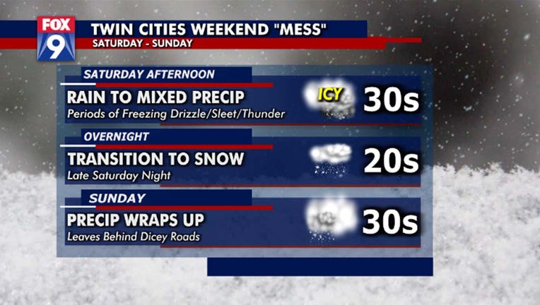
(FOX 9) - Foggy sky and slick roads carry us into the start of our weekend after some rain/freezing drizzle fell overnight. We'll start our Saturday with a brief lull in the action before rain begins to develop in the late morning to early afternoon.
The spring side of this system brings a chance at some thunderstorms this afternoon, with some potentially strong to severe storms into far southeastern Minnesota today. A slight risk for severe weather is in place through the day today for areas in the southeast.
Late Saturday some freezing drizzle and sleet will mix in before it all transitions into snow overnight.
Most of the accumulating ice will fall into Western Wisconsin, with the accumulating snow into Northern and Northwestern Minnesota.
Snow will taper off overnight, and clear out around Sunday morning. We end our weekend on a cloudier, but overall quiet note.

