MN weather: What caused this fog, and when will it go away?

(FOX 9)
MINNEAPOLIS (FOX 9) - It's another foggy day in Minnesota, but the fog is expected to lift soon.
When will the fog lift?
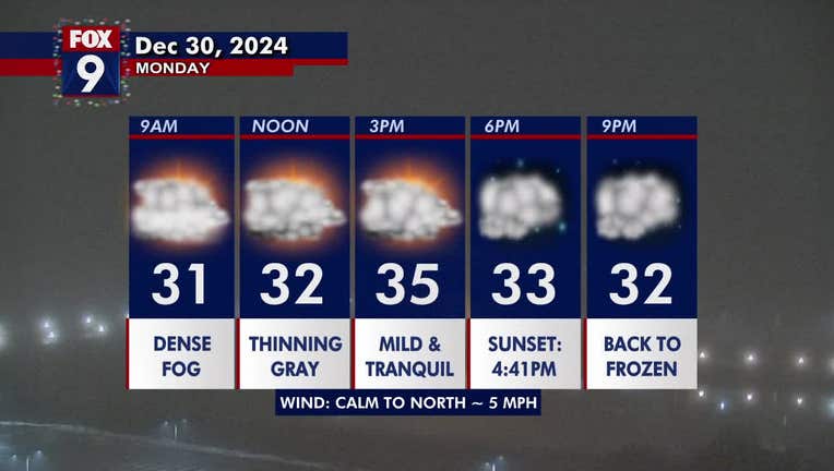
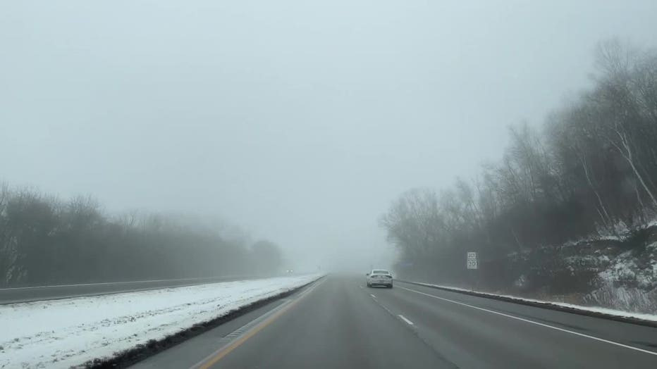
What we know: A dense fog advisory is in effect for much of Minnesota until noon on Monday. The fog has led to decreased visibility and has caused some slippery roads for the morning commute.
The fog is expected to lift Monday afternoon into the evening, but the cloud coverage will linger, leading to mostly overcast and gray skies for the Twin Cities.

Foggy driving in Wabasha.
Why is it so foggy: This fog developed because of our melting snowpack and all the rain from early in the weekend. The moisture gets trapped near the ground because of our very light breezes Sunday and Monday. Winds, though, will increase enough Monday night and Tuesday to mix and push out the fog for the rest of the week.
It was one of the foggiest stretches for the Twin Cities on record, with 20 consecutive hours with ½ mile visibility or less.

The forecast: Temperatures remain mild and above average with highs in the low to mid-30s. The Twin Cities metro daytime high is 35 degrees, about 10 degrees warmer than average for this time of year.
Most of the state will stay dry on Monday, though light rain and snow are possible in southwestern Minnesota during the afternoon hours.
Overnight, conditions remain mild with lingering light fog and temperatures dipping into the upper 20s.
Colder temperatures for the New Year

MN weather: Foggy and calm Monday
It's another foggy and calm day on Monday, with above-average temperatures in the mid-30s. FOX 9 meteorologist Cody Matz has your forecast.
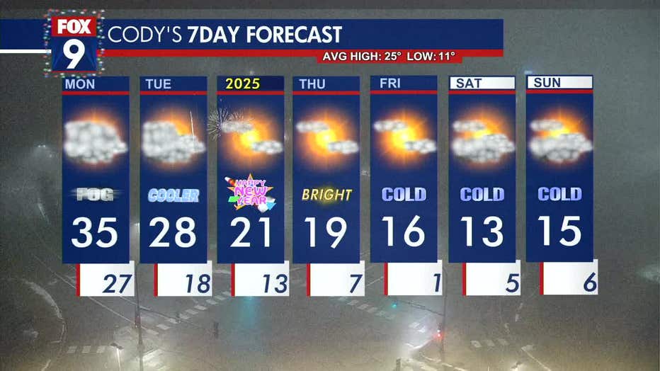
Looking ahead: Tuesday brings mostly cloudy skies with the occasional sunshine peeking through. Temperatures will only warm into the upper 20s on Tuesday and continue getting colder throughout the week.
New Year’s Eve looks brighter with temperatures in the 20s. By the end of the week, daytime highs fall into the teens with overnight lows in the single digits.

(FOX 9)

