MN weather: Timeline of what to expect with Thursday's snow
MINNEAPOLIS (FOX 9) - The Twin Cities area is set to see its first significant snowfall this winter as a system moves into the state on Thursday.

MN weather: Snowy Thursday
FOX 9's Jared Piepenburg shares an update on the snowy Thursday forecast.
Minnesota snow expected
THE LATEST: Snow making for tricky driving on Thursday
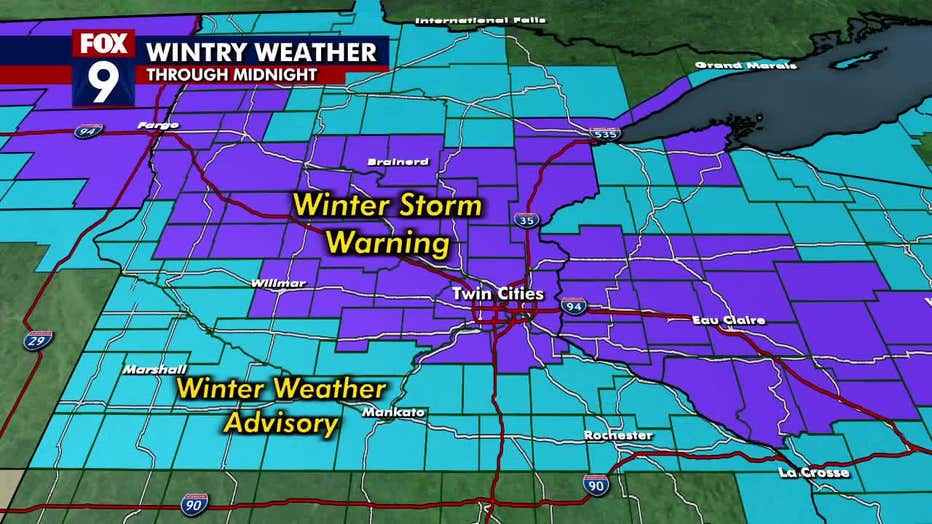
What we know: A strong clipper will move out of the Dakotas and across Minnesota overnight through Thursday evening with a narrow swath of heavy snow along the I-94 corridor including the Twin Cities.
LIST: Minnesota school closings for Dec. 19, 2024
This will be a high impact snow event for the Thursday morning commute that lingers into Thursday afternoon with the largest snowstorm of the season for the Twin Cities so far.
Get those shovels ready and pack your patience for driving on Thursday.

Timeline of the snow
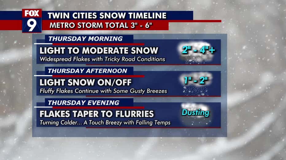
Timeline: Here's what to expect with Thursday's snow across the Twin Cities:
- Thursday morning: Light to moderate snow will make for tricky road conditions for the morning commute; 2-4+ inches of snow is possible.
- Thursday afternoon: Lighter snow as flakes become more off and on, with some gusty breezes; another 1-2 inches of snow is possible.
- Thursday evening: Scattered flurries will taper as the snow moves out of the region. There may be some blowing and drifting snow; a dusting of snow is possible.

Track the snow
What you can do: To get the latest updates and track the snowy weather, you can download the FOX 9 Weather app.

